Directions
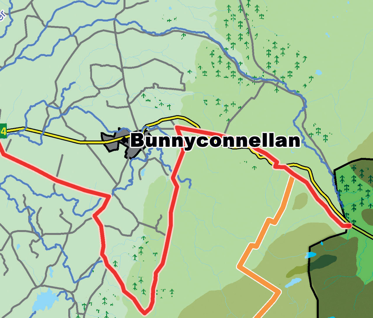
Congratulations you have reached the end of the Western Way hiking trail over 200 kilometres from the start in Oughterard in county Galway. Perhaps you have decided to begin your adventure here at the Sligo border. If so just use the map boards in reverse. The Western Way is way marked with the standard yellow man. There are other way marked trails nearby. The Ox Mountain Trail begins a few kilometres north west of this location, it is marked on this map board. Follow the R294 to the Sligo Way a short distance away at Lough Talt.
Features
This area is called The Gap, appropriately so as it is one of few mountain passes from county Mayo into County Sligo for many kilometres. The Ox Mountains are mistranslated from Gaelic they should be called the Wintry Mountains. Look out for Sundews on the bog surface where the heather is short or absent. These plants have evolved a practical solution to the absence of nutrients in the bog. They eat insects that are attracted to their sticky leaves where they are trapped. The underlying rock here is red sandstone it gives way to limestone towards the Moy river valley.


